Green Space Accessibility and Demographic Impact in London: Spatial Econometrics Analysis (R)
Spatial Data Analysis | Modelling Spatial Relationships | Visualising Geospatial Trends & Reporting
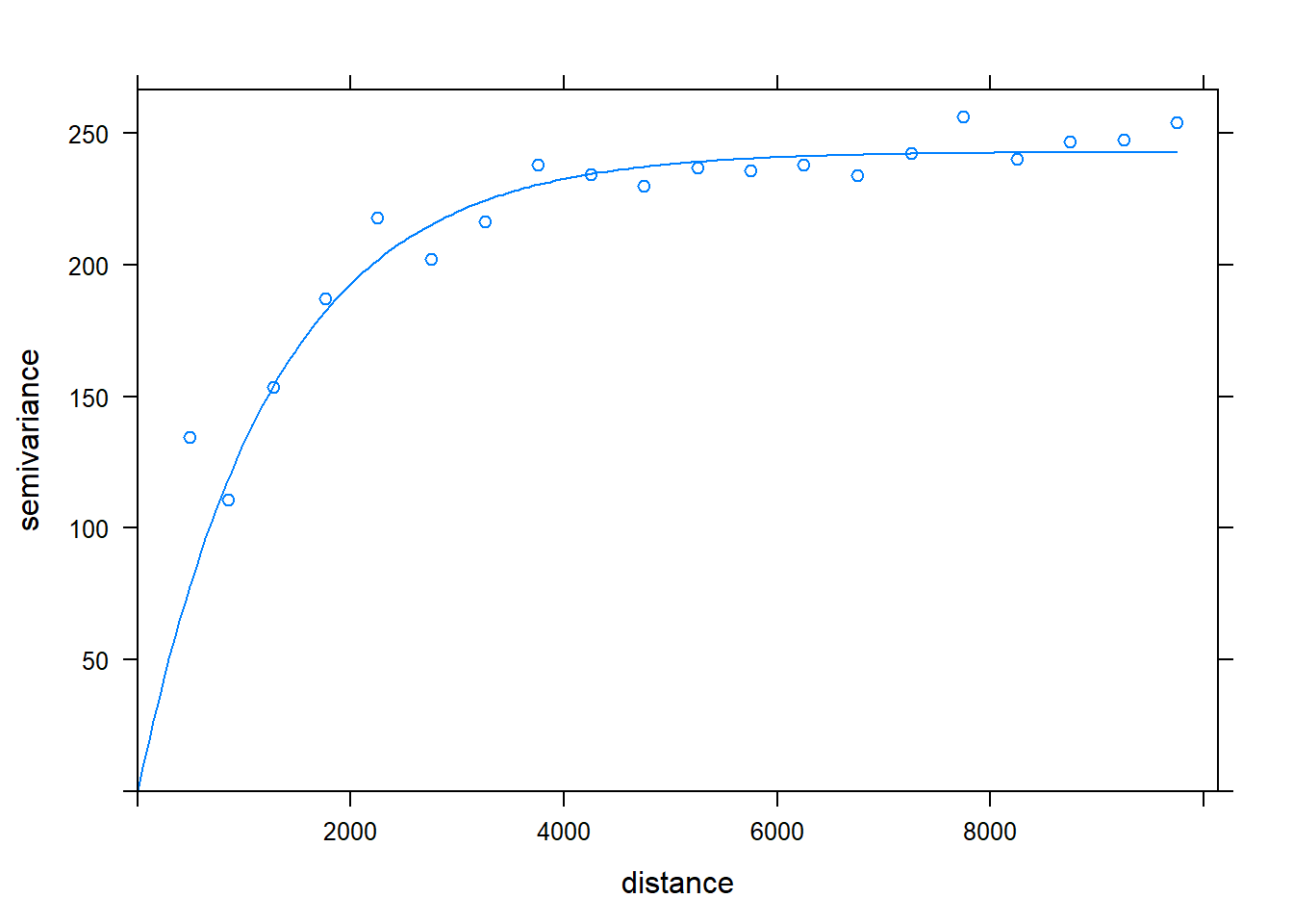
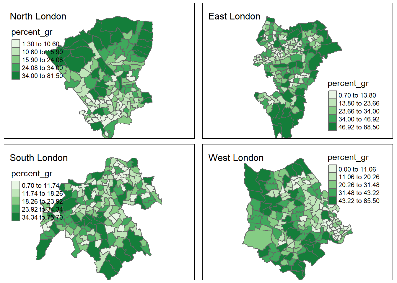
| Green Space Semivariogram | Percentage Green Space per Ward in Greater London (North, East, South and West) |
|---|---|
 |

|
The Spatial Econometrics project explores the distribution of green space across Greater London and its correlation with socio-demographic factors, including income levels, age distribution, and life expectancy.
Using Global Moran's I and Local Moran’s I, significant clustering of green spaces is identified, with higher concentrations in North and West London compared to South and East.
Spatial regression models like the Spatial Lag Model and the Spatial Error Model show lower green space access in areas with higher population densities and lower-income brackets.
Regions with more green space exhibit improved life expectancy and reduced health disparities, emphasising the role of equitable green space distribution for public well-being.